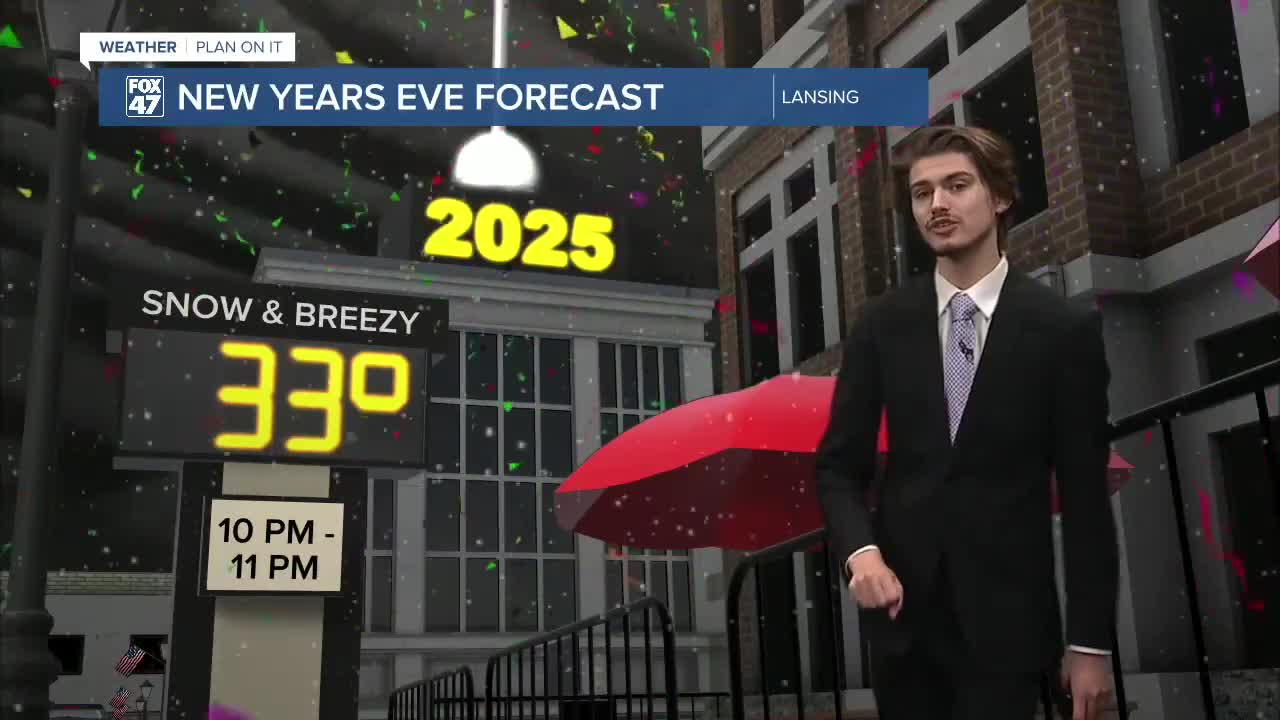

LANSING, Mich. — We are tracking another round of precipitation in our neighborhoods as 2024 comes to an end. This low pressure system is taking a similar track to the previous round. However, instead of tracking through Michigan, it will be tracking off to the east and just south of the state. Because of this, we will observe winds from the north that will allow cold air to transfer into our neighborhoods.
High temperatures today are returning around normal in the mid 30's. As we head into the afternoon where we could see wind gusts exceed 25 mph, rain is expected to turn to snow. We are expecting the heaviest snow associated with this system to track through in the early evening tonight through around midnight. This could cause some disruptive travel for the new years eve holiday if you are heading out.
In terms of snow totals, we are note expecting anything drastic as we could see as much as 3 inches possible in localized areas within Eaton, Ingham, and Clinton counties. Jackson and Hillsdale are expected to see under 2". This could change as we head into the afternoon hours as mixed precipitation is still possible and if it occurs, could hinder higher snowfall amounts.
Following tonight, remnants of this system will bring lake effect snow showers to the western portion of the state for the first half of Wednesday. Our neighborhoods are not looking at anything too drastic in terms of accumulations. We will keep you updated as we head through the week.
Want to learn more about the Weather? Visit the FOX47News Website.
Stay in touch with us anytime, anywhere.
Sign up for newsletters emailed to your inbox.
Select from these options: Breaking News, Severe Weather, School Closings, Daily Headlines and Daily Forecasts.
